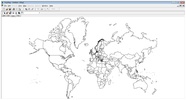
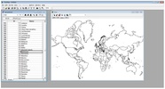
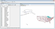
PolyMap is map data presentation tool to let users create themed maps and manage cartographic data to create geography-related presentations.
The program turns the process of creating maps into something easy to do, providing a user-friendly workspace to carry out all necessary actions. All the features related to the presentation and printing of maps are especially well done, although you can also tag, create labels, and above all, easily separate all the map's data.
When it comes to working with the maps you'll find many different features, but you'll also have many features when it comes to that key moment: saving the information. You can save your progress in advanced meta-files so you can then easily read them using programs such as Excel, Word, or PowerPoint; or you can also save it as a JPG so it’s much easier to work with in the cloud.
PolyMap is an app designed for many different kinds of users: from geography students to professors to simple amateurs. And this is because its simple interface adapts to any level.


Comments
There are no opinions about PolyMap yet. Be the first! Comment